
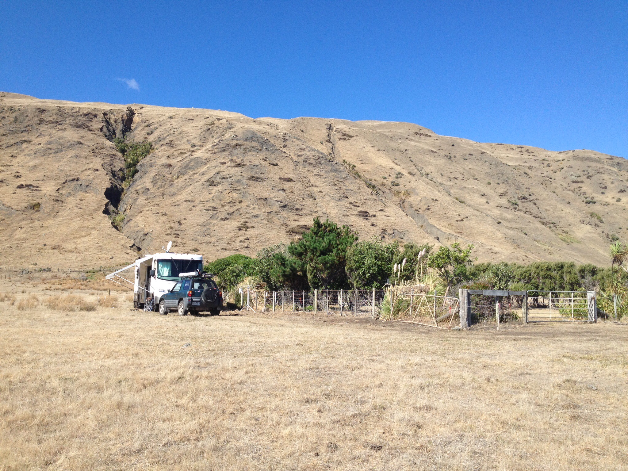
Another day and another day trip out and about, this time to Pirinoa, inland and just by the turnoff to Lake Ferry. Lake Ferry is on the shore of Lake Onoke…..I am not sure why the village has a different name to the Lake….Lake Onoke is at the southern end of Lake Wairarapa.
 There is not a lot there apart from holiday homes, homes, an hotel and a camp ground. So much so that I neglected to take a single picture!
From there we headed to Whangaimoana, which is on the coast on the Ngawi side of Lake Onoke. Here, there were a number of people fishing, either surf casting or torpedo fishing. Damn, we had left the kite fishing gear back at the van!
 Whangaimoana looking East
 And looking west
From there we headed for the Putangirua Pinnacles, which Roy has mentioned in his post the other day here
On our return journey we found this carefully tended grave site of the side of the road so we stopped to have a look. 

It is a memorial to 12 seafarers who lost their lives when their sailing ship the Zuleika ran aground offshore here on Good Friday in 1875.
On the lonely windswwept coast of Palliser Bay, east of Wellington, flowers grow on a large grave. It holds the bodies of 12 men, but few people know anything about its occupants and the tragedy that happened long ago.
In 1897 the Zuleika a 23 year old iron ship had discharged half its American cargo at Duneedin and was to complete unloading at Wellington. At 11pm on April 16 it ran aground in a gael 6km from Cape Palliser.
There were 21 men aboard. All the deck fittings were swept overboard and the crew took to the riggings. Tremendous seas were running and the ship suddenly went under. Those who could swim made for the shore. The rest clung to the wreckage. All that was left in the morning was a piece of the forecastle. Wreckage was strewn over 3km of beach.
12 bodies, bruised and battered almost beyond recognition, were buried near the beach. They were the mate, cook, steward, seven seamen and 2 apprentices of the Zuleika.
Source….NZ Truth, 16 March 1976.
The steamer ‘Tutanekai’ took coffins to the scene of the wreck of the ‘Zuleika’ today (22 April) and 8 of the victims were buried in one grave. The 9th body, that of Alexander McKay will be forwarded to Port Chalmers.
Mr Erai, the Maori, owns the land in the vicinity of the wreck, has given sufficient ground for the burial of the dead and has undertaken to erect a tombstone if one is sent down.
The wreck of the Zuleika in Palliser Bay was sold at auction to Mr Flockton for 65 pounds (stg). In addition to the tins of kerosene and American hardware lying on the beach there is a quantity of fencing wire in the water which it is believed can easily be recovered by a diver. The spars are estimated to be worth about 100 pounds (stg).
Wanganui Chronicle April 1897
A poignant reminder of how rugged this coastline can be.


